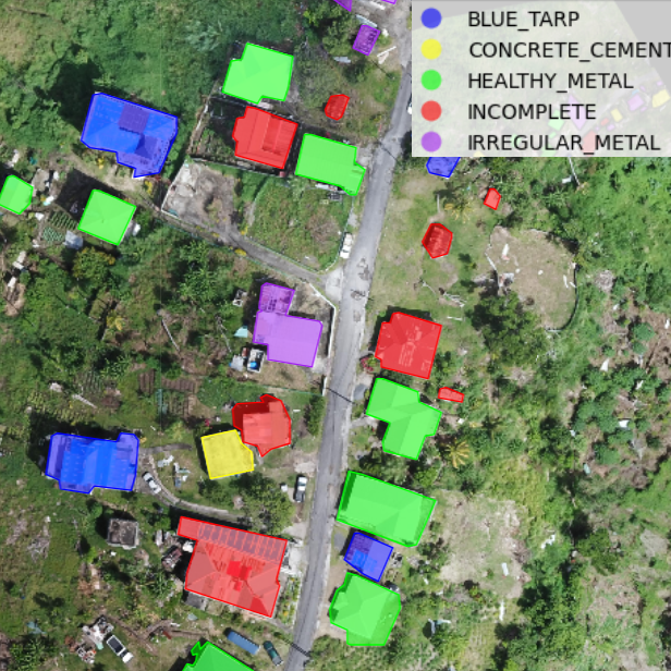
Rooftop Classification from Drone Imagery for DRR (Part 2/2)
Learn how to classify buildings based on roof type and roof material using very high-resolution drone images.
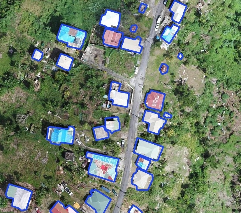
Building Footprint Delineation for Disaster Risk Reduction and Response (Part 1/2)
Learn how to automatically extract building footprints from aerial imagery (e.g. satellite images, drone images) using the Segment Anything Model (SAM).
Automating Crop Field Delineation using Python GIS (Part 2/2)
Learn how to automate crop field delineation using the U-Net trained in Part I and Python GIS.
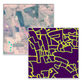
Crop Field Delineation using U-Net in Pytorch (Part 1/2)
Learn how to train a computer vision model to segment crop fields using publicly available Sentinel-2 satellite imagery.
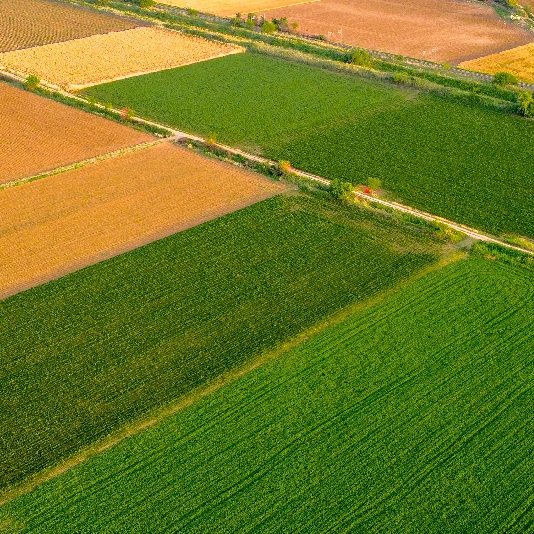
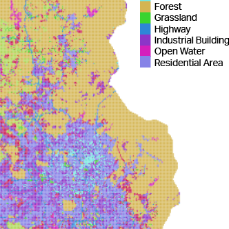
Automating Land Use & Land Cover Mapping using Python GIS (Part 2/2)
Use the neural network trained in LULC Classification Part I to generate land use and land cover maps with Python GIS.
